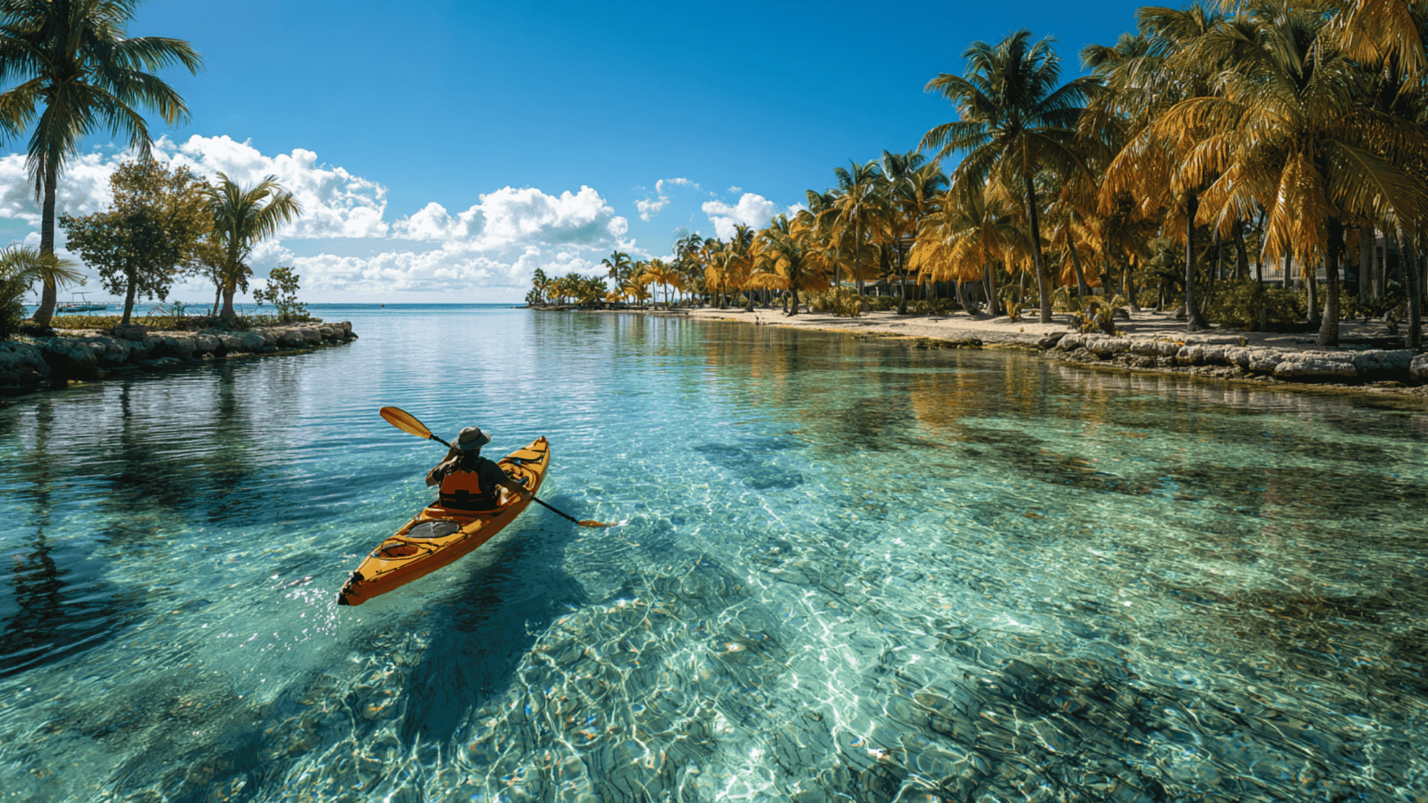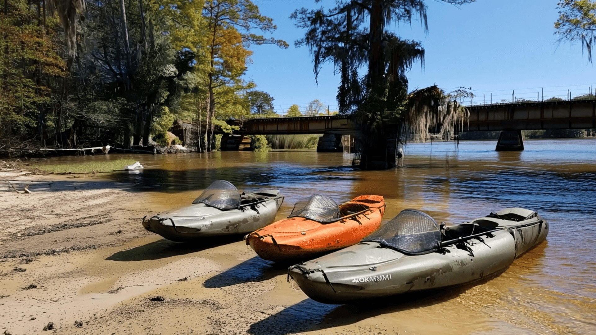
If you open Google Maps and look at any stretch of blue water, it’ll look like it’s a good place to kayak. Even if you zoom in, you’ll probably find a road somewhere nearby, a few photos of calm water, maybe a boat ramp somewhere, and it’ll seem like you’re pretty much done with planning.
The problem is that Google Maps doesn’t show you everything you need to know. It’s a good tool (one of the best, in fact) for finding new places to kayak, but it can’t be the only thing you use for planning.
Stick around, and you’ll see why.
What Google Maps Can Tell You
Google Maps is something you should use while you’re still at home. It’s a great tool for narrowing down your list of possible spots and checking what the area around the water looks like.
Satellite view is where you should start because that can show you whether there’s a road close to the shore, where you can park, and so on. Street View is also really helpful, especially when you need to check whether that last chunk of your drive will be on a paved road or a narrow dirt track. You might also spot a gate that was nowhere to be seen on the regular map.
You’ll also want to check reviews and photos from other users, but the newest ones are what should interest you the most.
Maybe someone mentions there’s a ramp being built or that the parking isn’t free anymore. And photos can give you an idea of how steep the shoreline is or how far you’ll have to carry your kayak.
As you can see, accurate information is extremely important because people plan around what they see and read online. It all matters just as much around marinas and launch areas.
Paddlers often make decisions based on what the listings and reviews show them, which is why these types of websites – https://www.themarinemarketingagency.com/ – which are also experts in the field, pay such close attention to it.
You shouldn’t overestimate what Google Maps can do for you, though.
For the most part, all it can really do is answer one question: Can you get yourself and your kayak to the water?
It doesn’t tell you what that water is like.
What Google Maps Can’t Show You
Google Maps can get you to the water. That’s about it.
That’s why you have to check a few extra things before you pick your spot.
What the Water Is Doing Right Now
An image from a satellite is basically one frozen moment.
| Google’s satellite and aerial imagery isn’t in real-time, but is rather collected over time, where an image might be a mosaic of multiple images that have been collected across multiple days/months. – Google Earth |
And water is anything but frozen. The lake might look calm in the morning, but it can get choppy by lunchtime if the wind picks up. If there’s been rain, the river might be faster and more difficult. That’s why you need live information, and Google Maps can’t give you that.
Check the weather and the speed and direction of the wind.
You’ll also want to check tide times if you’re close to the coast, and if you find any available reports on the river and water levels, check those as well.
How Busy the Water Gets
Google Maps is really bad at showing traffic. It might show you a wide stretch of water that looks empty, but who knows when that picture was taken?
The place could have filled up 30 minutes later, and the app doesn’t show it.
And as you probably know, boat traffic completely changes the feel of a paddle. So, before you head out, look for marinas, boat ramps, marked channels, and waterfront developments in the area. One other thing that can be really useful is paddler reports.
They’ll often tell you when things are quiet and when they aren’t.
Whether You’re Allowed to Launch There
The satellite view is great. It has its purpose, and it can show you an open shoreline.
Unfortunately, the satellite view has no warning sign that says “Hey, you can’t launch here!” A beach or a dirt road might look like it’s public when you’re looking from above, but that doesn’t mean that what you’re looking at doesn’t belong to a hotel or a private marina. And even places that are open to the public can have rules the maps don’t show.
Before you get to the location, it would be smart to check who manages the site and look for an official page that covers access.
It’ll take you a minute, but even if it took an hour, that’s still better than unloading your kayak and running into a locked gate.
Conclusion
So, can Google Maps find you a good place? Well… Technically. It can show you a place that seems good, but then you’d need to check a few things to make sure. It’s a great starting point, but it can’t be all you rely on because that’s too risky.
Google Maps leaves a lot of really important stuff out, so don’t overestimate its abilities.
2 Interlinking Opportunities:
From https://www.airkayaks.com/best-places-to-kayak-in-the-usa-for-every-paddler/ with anchor best destinations for kayaking
From https://www.airkayaks.com/sea-kayaking-safety-tips/ with anchor If you are getting ready for your first saltwater trip